Illustration by Bob Staake
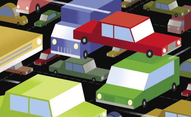
Taming Traffic
Aided by UT Arlington civil engineers, a regional transportation team seeks to unclog North Texas roadways by merging voluminous amounts of data into high-tech transit information systems.
· Spring 2013 · Comment ·
It’s a common and costly occurrence on North Texas freeways: Traffic suddenly slows, then creeps, then stops. Should you bail at the next exit or stick it out? When will you finally get to where you’re going? Could you have avoided the problem altogether? Alumnus Shaun Dodge asks himself questions like this during the drive from his southeast Arlington home to his information technology job in Dallas. Although his route stays roughly the same, the time can vary greatly. On normal days the trip is 40–60 minutes. On bad days it can take two hours.
The North Central Texas Council of Governments says area motorists drive more than 176 million miles and spend 1.1 million hours in traffic delays every day. The congestion increases travel time 31.5 percent at an annual cost of $4.5 billion, NCTCOG says. By 2035 delay time and costs are projected to double.
Dodge, a 2002 graduate with a bachelor’s degree in communication and broadcast management, considers himself a seasoned commuter with more experience than your average highway jockey. He worked a couple of years for www.traffic.com, sitting in rush-hour jams and delivering reports for local news stations.
“Mobility is one of the dominant issues in our region, and we have access to comprehensive data that can help motorists and traffic engineers improve how we navigate major travel corridors.”
“I developed patience and tolerance for commuting,” he says. He learned to plan for delays regardless of what he knew beforehand, rather than assuming arrival times based on smooth sailing. “Everybody in DFW understands that getting anywhere in this area is going to take a lot of time. You know something unexpected will happen.”
But this spring area commuters may begin leaving the unexpected in their rearview mirrors.
UT Arlington civil engineering Professor Sia Ardekani and his team are working with Dallas Area Rapid Transit, NCTCOG, and several municipalities on ways to give drivers more precise traffic information. The U.S. Department of Transportation and DART are funding the $8.3 million, five-year projects, DFW 5–1-1 and Integrated Corridor Management (ICM). Besides UT Arlington, the team includes Telvent Corp., Texas A&M’s Texas Transportation Institute, Southern Methodist University, and Texas Southern University.
DATA DRIVEN
Dr. Ardekani and his collaborators, who include civil engineering Associate Professor Steven Mattingly, have developed an expansive computer data network that is the backbone of the ICM project to help motorists traveling on U.S. Highway 75 (Central Expressway) and its major neighboring arterials from downtown Dallas to Texas 121. The data also is being used to create DFW 5–1-1, a system designed to put comprehensive traffic details at drivers’ fingertips.
ROAD WARRIORS
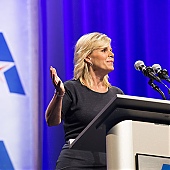
Civil engineering Professor Sia Ardekani and his team have developed a huge computer data network to battle traffic congestion.
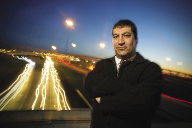
“Mobility is one of the dominant issues in our region, and we have access to comprehensive data that can help motorists and traffic engineers improve how we navigate major travel corridors,” Ardekani says. “Our work synthesizes critical data in a way that will yield better solutions for all of us.”
Most people don’t realize it, but roadways have had sensors for more than 40 years, Ardekani says. Detectors buried beneath the pavement invisibly record speed and congestion.
In some cases, private vendors collect the data and sell it to states, cities, and other entities. Or the data collection is above ground, like with a reader that time stamps vehicles’ toll tags as they pass through. Down the road, another reader produces data on how long it took the vehicle to get there.
Newer technology monitors streets other than freeways. Some systems analyze Bluetooth signals to glean real-time information on how long it takes a vehicle to reach point B from point A. Same as with the toll tag readers, these systems monitor only the signals, leaving the owners’ privacy intact.
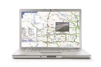
All information sources are vital to the success of the 5–1-1 and corridor management initiatives. Of the two, DFW 5–1-1 is personalized for commuters. And it will be regionwide, unlike any other system in Texas.
NCTCOG’s Natalie Bettger says the council works with major cities and other partners to keep everyone involved. Besides DART and the Texas Department of Transportation, the players include Dallas, Highland Park, Plano, Richardson, and University Park, as well as the North Texas Tollway Authority.
Cities typically collect their own traffic data, but they rarely share it. 5–1-1 will pull all the region’s information together. For example, someone traveling from Dallas to an event in Arlington can know what’s happening along the route by calling a voice-activated system.
The current TxDOT system provides information based on where the state has field devices, but “there are gaps in that,” says Bettger, senior program manager at NCTCOG. “5–1-1 provides information on the whole freeway system.”
Other components such as weather and the status of transit systems are also a phone call away. Commuters like Dodge can call 5–1-1, learn the travel time to work, and find out about accidents along the way. He can save his route so the system will alert him via text message when there are problems. Then he’ll know for sure if he should leave home earlier.
“I think it will be extremely valuable,” he says, “especially as we’re seeing ourselves move to a more connected, social society where we demand real-time information in our hands at any give time.”
Ardekani says motorists using a computer before leaving their home or office can click on a trip’s origin and destination and quickly get the current travel time between the two, taking into account weather, traffic, accidents, incidents, construction, and other variables.
Scheduled for a public launch this fall, 5–1-1 will keep track of transit such as buses and light rail. It can suggest travel from origin to destination exclusively on transit when such options are feasible, complete with departure and arrival times and trip time estimates.
HIGH-TECH HIGHWAY
Every driver has endured traffic jams caused by accidents or construction. It’s inconvenient but understandable. What about those unexplained slowdowns?
“It’s maddening,” Dodge says. “There seems to be a point on the road where things just open up. You drive by and you expect to see a lane taken away, an accident, something that would make sense as to why things would be slow.”
But there’s nothing. Just traffic, now flowing smoothly.
The ICM system on U.S. 75 from downtown Dallas to Texas 121, only the second in the nation (the other is in San Diego), should ease those situations. Beginning this spring, motorists who see traffic slow and perhaps stop will be given alternatives by dynamic road signs (often used now for Amber Alerts).
The signs might say something like “Accident ahead, consider using light rail” or “Accident ahead, take next exit.”
Behind the scenes, traffic signals on service roads and side streets change to accommodate the heavier load as people leave the highway. The DART station might shorten run times to take on more passengers or add train cars and begin to monitor parking. When parking lots and trains are full, the dynamic sign might stop promoting light rail as an alternative.
Historical data reveals how often accidents occur and where they happen, enabling traffic engineers to develop scenarios. They can see where commuters might exit the highway and how traffic signals should be re-timed to accommodate the additional loads.
There are, of course, hundreds of scenarios. A fender-bender on U.S. 75 at midnight is one thing; the same minor mishap blocking traffic at 7:30 a.m. is another. A cattle truck overturning at 5 a.m. presents a different set of options that would change as the morning wears on.
Whatever happens, DalTrans, the traffic control center for Dallas, chooses the pre-approved response, posts the alternatives on the dynamic sign, and begins contacting the entities involved for traffic signal modification, rail use, or bus routes.
Besides helping drivers, the system has broader implications. Fewer cars idling in traffic will mean fewer emissions. Faster response to incidents should reduce the chance of secondary incidents. First responders also may benefit, although that has yet to be evaluated.
Ardekani, who will continue to act as project liaison for UT Arlington, says the teams will meet monthly to examine and tweak the program.
“It’s a living, evolving system,” he says.