Box 19162
Arlington, TX 76019-0162
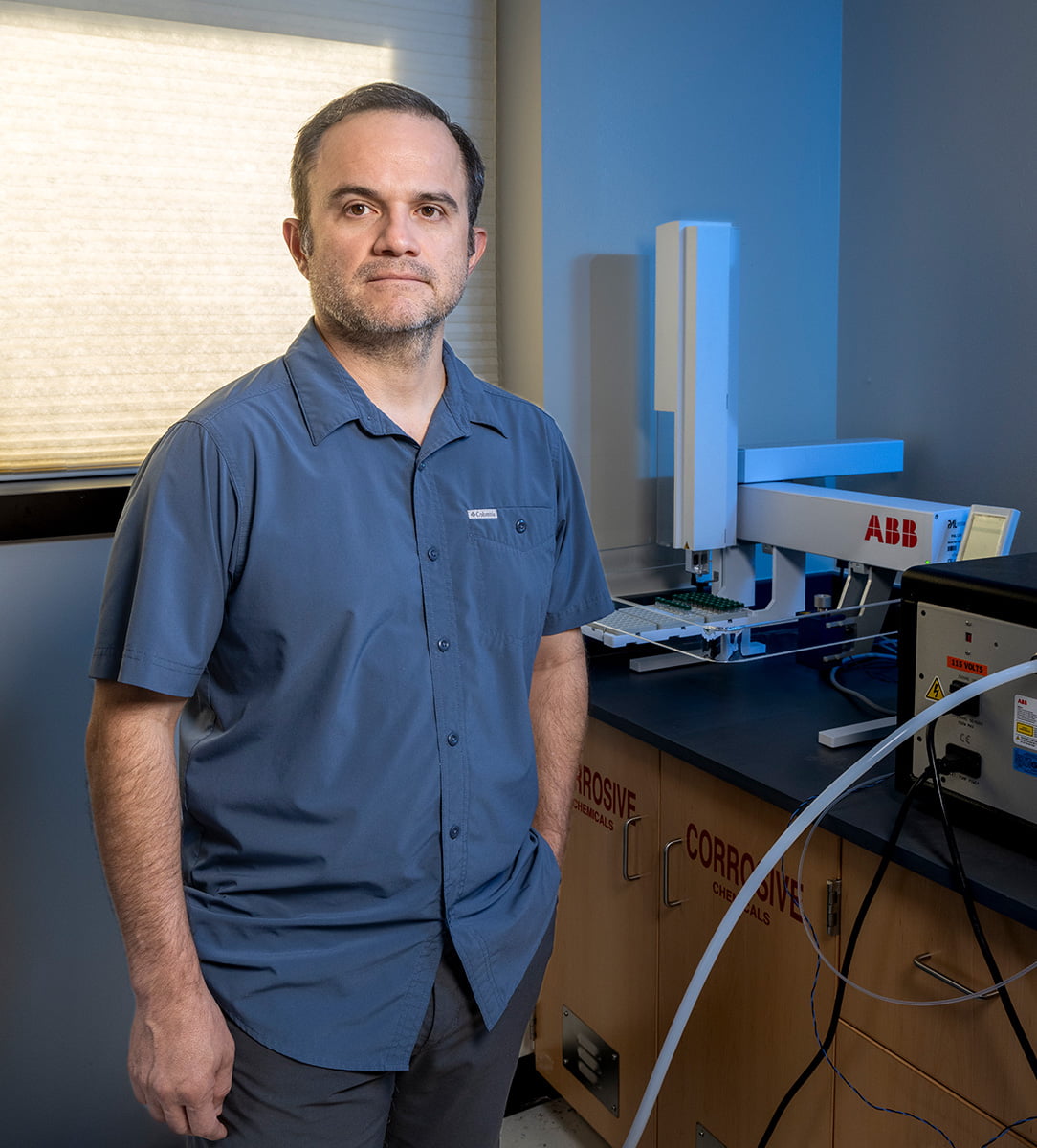
Ricardo Sánchez-Murillo, earth and environmental sciences associate professor, was inspired by the natural landscapes of his home country to pursue science. His recent research explores how extreme weather events impact urban environments.
Ricardo Sánchez-Murillo
on understanding the behavior of water.
How did your childhood home influence the work you chose to pursue?
My childhood was characterized by visiting natural places that were quite wild. I grew up in Costa Rica—it’s a really tiny country, bounded by two huge water masses: the Caribbean Sea on one side and the Pacific Ocean on the other. Those two bodies of water drive all of the rainfall seasonality that we get in Costa Rica. We get extreme rainfall, sometimes influenced by the indirect effect of tropical cyclones, so it’s a pretty dynamic landscape. I decided to be a chemist, but I switched gears toward hydrology because I really like to work in the field. So I have a strong chemical background, but I’m using that background to understand nature.
What is your current research focus?
I am using chemical and isotopic tracers to understand hydrological processes. We have sensors, but it’s really difficult sometimes to understand all the pipelines or the routes the water is taking. Tracers give us the opportunity to look into more detail about processes that we are otherwise blind to. We get these signatures from tropical cyclones and other extreme rainfall events, and then we focus on understanding those events and how the water signatures are translated into the landscape.
Can you explain these signatures and what we can learn from them?
A water molecule has different species within it, each with different signatures. All of them are related, but they behave a little differently. Those are the tracers that we call isotopes. Some are lighter and some are heavier, and depending on those really tiny mass differences, we can get a deeper idea of what the water is doing. We collect samples from many different water sources—streams, rivers, springs, groundwater, rainfall—and we try to connect those signatures. Based on those connections, we can actually estimate travel times. It’s a unique signature that is produced in nature, but it allows us, in a really high-resolution manner, to track the whole hydrological cycle.
What have you learned about tropical storms and their hydrological impact on land?
If you ask anybody, they will tell you that tropical storms and hurricanes produce a lot of damage, create a huge infrastructure cost, and result in a lot of fatalities. But we have been trying to understand the positive side of hurricanes, which is recharge. These storms replenish aquifers—in fact, in some regions that have been suffering from droughts or are drought-prone, cyclones are actually alleviating those conditions really rapidly. What we are learning is that these phenomena are now essential to alleviating drought conditions. However, another important issue is the quality of that water—how clean it is. While hurricanes produce a lot of recharge, a flood like that is just basically washing the city. When you do that, you move a lot of new contaminants back to the rivers, back to the creeks, back to the groundwater. There are many unknowns about the final water quality of recharge being produced by those big urban floods, and that’s a big concern.
Why do you think this research is so crucial right now?
We are seeing rainfall events that are increasing in size and intensity, so we really need to understand these processes and how the water is moving across cities. My research is crucial because the technique I use can give you an idea of these processes quickly. This information can then go into infrastructure design; it can go into urban green space design; it can factor into water storage calculations and water quality. What we do touches many different components of the urban environment.
You Might Also Like

rising to the occasion
Just a year after arriving on campus, the first complete RISE 100 research group is already making an impact on both the University and the wider community.

VPRI Launches Strategic Plan
“President Cowley challenged us to define our uniqueness and aspire to greater marks. I am excited to build upon our legacy and harness the creativity of student and faculty researchers to transform the future,” says Kate Miller, vice president for research and innovation.

The Future of Biotech in DFW
Opened in November 2025, the new satellite campus of the National Center for Therapeutics Manufacturing (NCTM²) provides hands-on training for students and industry partners, state-of-the-art lab space, and support for biotech startups, expanding workforce development and research opportunities in North Texas.