Life Sciences Building, Room 206
501 S. Nedderman Drive
Box 19047
Arlington, TX 76019
Far from West Coast, UTA team tracks California quakes
Study of rock samples helps pinpoint which faults may host future earthquakes

The University of Texas at Arlington is far from California earthquake country, yet its researchers are helping pinpoint which sections of the San Andreas Fault are most active.
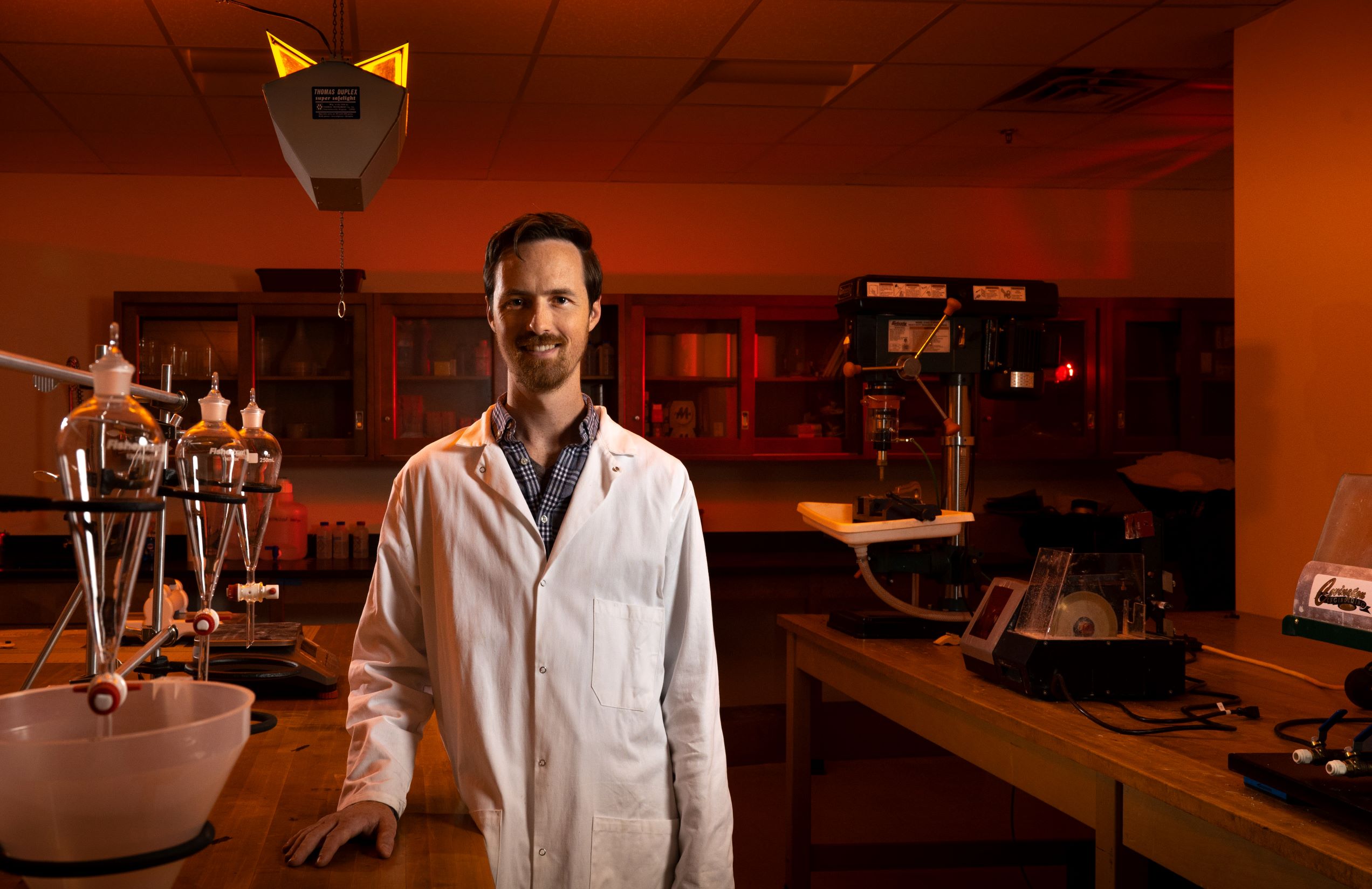
Nathan Brown, UT Arlington assistant professor of earth and environmental sciences, and Ph.D. student Ayush Joshi traveled to Southern California’s San Gorgonio Pass last spring to collect bedrock samples. Back at UTA’s Dark Lab, they are examining the rocks’ thermal history to help determine which faults remain active.
“People often imagine, like in the movies, that the San Andreas Fault is one big structure that hosts earthquakes. That’s true in a few spots,” Dr. Brown said. “But, in many places, it splinters into these different segments. To understand the hazard the fault poses in an area, you need to understand how much earthquake movement could happen on any one of those individual segments.”
By learning how the temperature of these rocks has changed over the past 100,000 years, the researchers can estimate how quickly the landscape has risen and eroded. The cooling rate of the rocks reveals which fault strands are active, offering insight into the seismic risks across the region.
Related: UTA expert urges overhaul of flood warning system
“If one tectonic block has cooled a lot recently compared to adjacent blocks, that suggests that it has moved up relative to neighboring blocks,” Brown said. “If you learn that, then you’d say the faults hosting that movement are potentially active and we should focus on their hazard potential when building nearby highways, high-rises, or other structures.”
In the lab, Brown and Joshi crush the bedrock samples into sand-sized grains and isolate certain minerals. They focus on potassium feldspar—a common mineral that records how the rocks have been heated or cooled over time—and analyze it using a luminescence reader.
“We heat the sand grains, and a detector measures their natural luminescence response,” Brown said. “The small amount of blue light they emit is directly related to their thermal history.”
Related: UTA leads effort to help homes withstand hurricanes
Joshi will present these results at an upcoming Statewide California Earthquake Center (SCEC) meeting in Palm Springs.
“To collect these samples, we had to wade through riverbeds to reach rock outcrops on both sides of mapped faults,” Joshi said. “By comparing those rocks, we can spot small differences in uplift and erosion. The early results are promising. I’m looking forward to sharing them with the community.”
The research is part of a project titled “SCEC-Measuring Differential Uplift Rates Across Multiple Fault Strands in the San Gorgonio Pass Region Using Thermoluminescence Thermochronology” funded by SCEC, a National Science Foundation Geohazards Center, with additional funding from the U.S. Geological Survey.
“Geologists have always tried to answer, Where could the next big earthquakes happen? How big might they be? Which segments are likely to rupture?” Brown said. “I’m a geochronologist, so I put timing on events. Seismic hazard research depends on identifying which fault strands have ruptured recently so we can know which strands are likely to rupture in the future. It’s tough work, but it’s rewarding because it impacts public safety.”
--
The UTA College of Science, a Carnegie R1 research institution, is preparing the next generation of leaders in science through innovative education and hands-on research and offers programs in Biology, Chemistry & Biochemistry, Data Science, Earth & Environmental Sciences, Health Professions, Mathematics, Physics and Psychology. To support educational and research efforts visit the giving page, or if you're a prospective student interested in beginning your #MaverickScience journey visit our future students page.